Webcams Current Snow Report Avalanche Report Weather & Traffic
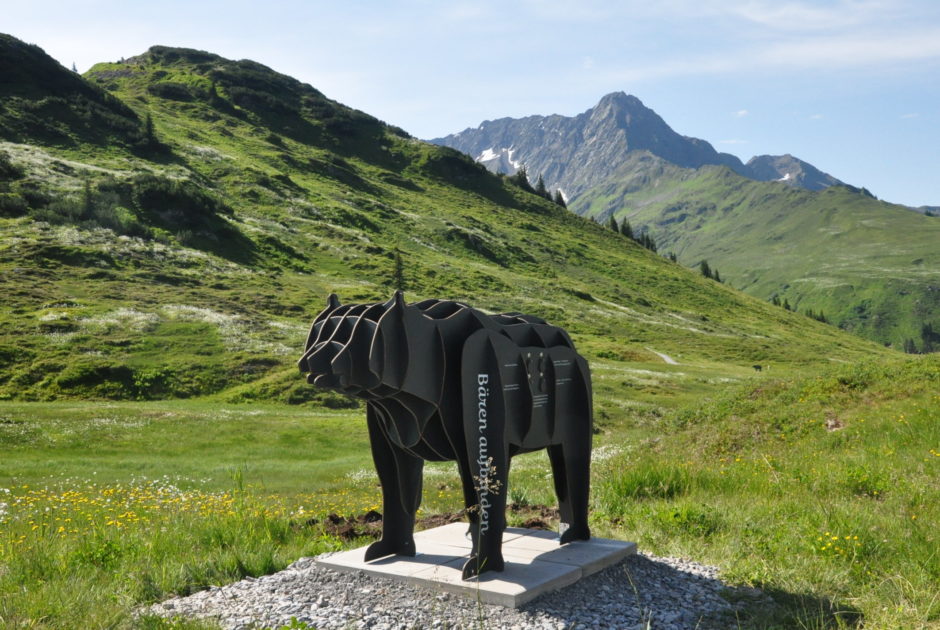
Tierwelten-Weg Brandnertal (c) alexander Kaiser - Bergbahnen Brandnertal

Hiking with Children

Nature Trails in Vorarlberg

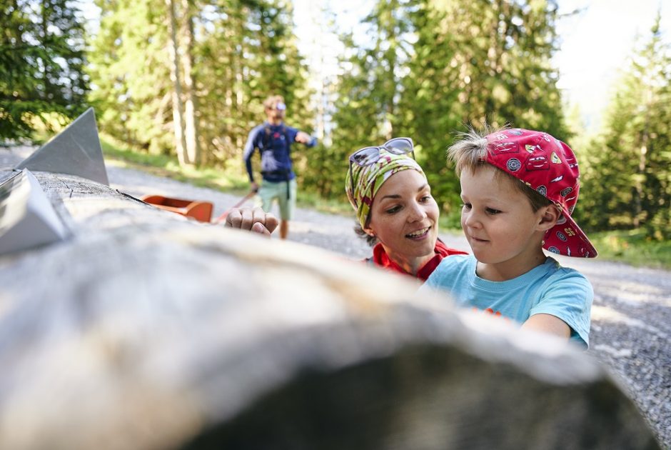
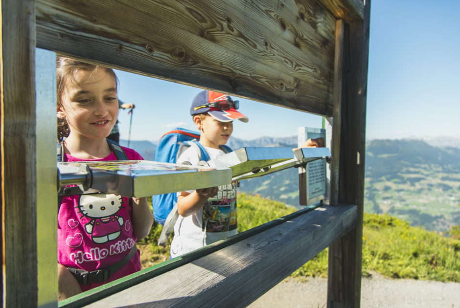
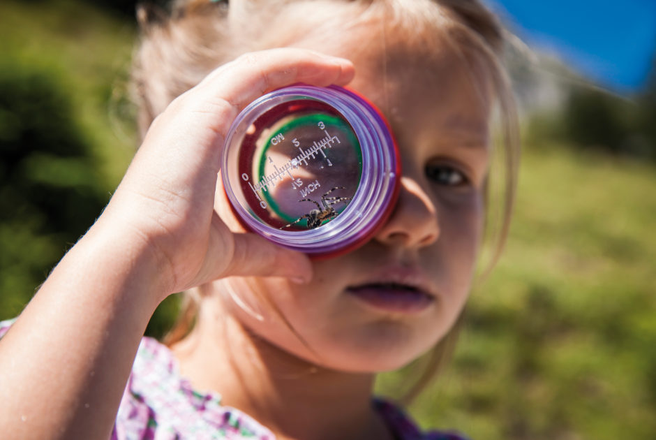
Learning on the side while hiking? That works on numerous nature trails throughout Vorarlberg. This makes hiking with children entertaining.
Selected nature trails for children

    • Auch über Adler kann man viel erfahren

      Tierwelten-Weg | Brandnertal

      Learn about and discover the animal world of the Brandnertal in a playful way…

      • 4.33 km

      • 1.5 h

      • leicht

      Difficulty: leicht
      Distance: 4.33 km
      Ascent: 70 m
      Descent: 270 m
      Duration: 1.5 h
      Deepest point: 1397 m
      Highest point: 1667 m
      Condition:

      Experience:

      Landscape:

      Tierwelten-Weg | Brandnertal

      Learn about and discover the animal world of the Brandnertal in a playful way at…

      Start of tour

      Dorfbahn mountain station or Palüdbahn mountain station, Brand

      End of tour

      Dorfbahn mountain station or Palüdbahn mountain station, Brand

      Description

      Have you ever imagined slipping into a marmot’s burrow? And do you know how old a queen bee actually gets? On the Animal Worlds Trail you can learn more about the world of animals in Brandnertal.

      The trail starts with the ascent on the Palüdbahn cable car. From there, the easy hiking trail leads up towards the Palüdhütte and before there on to the Niggenkopf. At Niggenkopf downhill to…

      Best season
      JAN FEB MAR APR MAY JUN
      JUL AUG SEP OCT NOV DEC
      All route info
    • Natursprünge-Weg Brandnertal

      Natursprünge-Weg | Brandnertal

      Learn about the nature of the Brandner Valley at eleven interactive stations along the…

      • 4.7 km

      • 2 h

      • leicht

      Difficulty: leicht
      Distance: 4.7 km
      Ascent: 37 m
      Descent: 309 m
      Duration: 2 h
      Deepest point: 1395 m
      Highest point: 1676 m
      Condition:

      Experience:

      Landscape:

      Natursprünge-Weg | Brandnertal

      Learn about the nature of the Brandner Valley at eleven interactive stations along the Natursprünge-Weg!…

      Start of tour

      Panoramabahn mountain station or Dorfbahn mountain station, Brand.

      End of tour

      Panoramabahn mountain station or Dorfbahn mountain station, Brand.

      Description

      Where does the water in the river come from? What happens on an alpine pasture and how do rocks actually get up the mountain? There is a lot to discover on the interactive hiking trail.

      The Dorf- and Panoramabahn takes you up into the Brandnertal mountains. Slightly downhill the hiking trail leads from the Burtschasattel to the Inner Parpfienzalpe and further to the Dorfbahn mountain station. The trail can…

      Best season
      JAN FEB MAR APR MAY JUN
      JUL AUG SEP OCT NOV DEC
      All route info
    • __NO_NAME__

      Arlen Magic Trail

      Along the Arlen Magic Trail, more than 20 stations present special characteristics of animals…

      • 2.41 km

      • 1.5 h

      • leicht

      Difficulty: leicht
      Distance: 2.41 km
      Ascent: 71 m
      Descent: 159 m
      Duration: 1.5 h
      Deepest point: 1560 m
      Highest point: 1673 m
      Condition:

      Experience:

      Landscape:

      Arlen Magic Trail

      Along the Arlen Magic Trail, more than 20 stations present special characteristics of animals and…

      Start of tour

      Cable car Lech-Oberlech

      End of tour

      Rud-Alpe

      Description

      The Arlen magic trail leads from the mountain station of the Lech-Oberlech mountain railway over the Libellensee past beautiful flower meadows at Schlegelkopf to the Rud-Alpe (or vice versa) and holds numerous magical treasures ready for interested visitors.

      The figure of “Mathiesle”, based on the Arlberg original Albert Mathies, who had his second home on the Rud-Alpe in the last century, accompanies families and nature lovers hikers through his…

      Best season
      JAN FEB MAR APR MAY JUN
      JUL AUG SEP OCT NOV DEC
      All route info
    • Golmi`s Forschungspfad - Natur-Memo

      Golmi´s Forschungspfad

      • 2.41 km

      • 1.5 h

      • leicht

      Difficulty: leicht
      Distance: 2.41 km
      Ascent: 20 m
      Descent: 373 m
      Duration: 1.5 h
      Deepest point: 1514 m
      Highest point: 1911 m
      Condition:

      Experience:

      Landscape:

      Golmi´s Forschungspfad

      Start of tour

      Golm Grüneck / Bergstation Golmerbahn

      End of tour

      Matschwitz / Mittelstation Golmerbahn

      Best season
      JAN FEB MAR APR MAY JUN
      JUL AUG SEP OCT NOV DEC
      All route info
    • Weitblick nach Zürs am Arlberg mit Monzabonsee im Vordergrund

      Geology hike ”Rüfikopf”

      This geological tour takes you on a fantastic journey through time – past the…

      • 3.43 km

      • 2.5 h

      • leicht

      Difficulty: leicht
      Distance: 3.43 km
      Ascent: 164 m
      Descent: 165 m
      Duration: 2.5 h
      Deepest point: 2228 m
      Highest point: 2348 m
      Condition:

      Experience:

      Landscape:

      Geology hike ”Rüfikopf”

      This geological tour takes you on a fantastic journey through time – past the ”stone…

      Start of tour

      Rüfiplatz

      End of tour

      Rüfiplatz

      Description

      A hiking trail with many geological and historical highlights in the breathtaking landscape of Lech am Arlberg.

      Best season
      JAN FEB MAR APR MAY JUN
      JUL AUG SEP OCT NOV DEC
      All route info
    • Silberpfad

      Silberpfad Kristberg

      • 2.63 km

      • 0.8 h

      • mittel

      Difficulty: mittel
      Distance: 2.63 km
      Ascent: 107 m
      Descent: 99 m
      Duration: 0.8 h
      Deepest point: 1425 m
      Highest point: 1518 m
      Condition:

      Experience:

      Landscape:

      Silberpfad Kristberg

      Start of tour

      Bergstation Kristbergbahn

      End of tour

      Bergstation Kristbergbahn

      Best season
      JAN FEB MAR APR MAY JUN
      JUL AUG SEP OCT NOV DEC
      All route info
    • Unterwegs am Blumen-Wanderlehrpfad

      Flower Hiking Trail | Faschina

      A special feature in the Biosphärenpark Grosses Walsertal is the extraordinary plant diversity on…

      • 1.22 km

      • 0.8 h

      • mittel

      Difficulty: mittel
      Distance: 1.22 km
      Ascent: 290 m
      Descent: 150 m
      Duration: 0.8 h
      Deepest point: 1768 m
      Highest point: 1884 m
      Condition:

      Experience:

      Landscape:

      Flower Hiking Trail | Faschina

      A special feature in the Biosphärenpark Grosses Walsertal is the extraordinary plant diversity on the…

      Start of tour

      Stafelalp cable way middle station, Faschina

      End of tour

      Stafelalp cable way mountain station, Faschina

      Description

      Between the middle station (1,780 m) and the top station (1,865 m) of the Stafelalpbahn cable car, a unique alpine flora awaits nature lovers. As an example from more than 150 plant species, the “Türkenbund”, for example, can be mentioned here.

      Up here, at this wonderful spot with panoramic views, the Faschina cable cars have built the popular flower hiking nature trail, where you will find illustrations of the…

      Best season
      JAN FEB MAR APR MAY JUN
      JUL AUG SEP OCT NOV DEC
      All route info
    • Startpunkt in Eichenberg

      Educational cheese trail along the Pfänder ridge

      The trail was named in recognition of Josef Rupp’s dedication to farming issues.The cheese…

      • 5.36 km

      • 1.5 h

      • leicht

      Difficulty: leicht
      Distance: 5.36 km
      Ascent: 300 m
      Descent: 200 m
      Duration: 1.5 h
      Deepest point: 793 m
      Highest point: 1064 m
      Condition:

      Experience:

      Landscape:

      Educational cheese trail along the Pfänder ridge

      Start of tour

      Eichenberg Dorf

      End of tour

      Eichenberg Lutzenreute

      Description

      The trail was named in recognition of Josef Rupp’s dedication to farming issues.The cheese trail is a family hike with stop-offs and farm shops where refreshments are available. The Jungholz Hinteregg, Lutzenreute and Rucksteig alpine dairies are also located not far from the trail. These hay-milk dairies are among the oldest in Vorarlberg.The Josef Rupp Cheese Hiking Trail takes in the entire Pfänder ridge. From Lochau, Eichenberg and Möggers to…

      Best season
      JAN FEB MAR APR MAY JUN
      JUL AUG SEP OCT NOV DEC
      All route info
    • Vier Barga

      Vier Barga

      • 1.86 km

      • 1 h

      • mittel

      Difficulty: mittel
      Distance: 1.86 km
      Ascent: 87 m
      Descent: 87 m
      Duration: 1 h
      Deepest point: 2001 m
      Highest point: 2030 m
      Condition:

      Experience:

      Landscape:

      Vier Barga

      Start of tour

      Bergstation Versettla Bahn

      End of tour

      Bergstation Versettla Bahn

      Best season
      JAN FEB MAR APR MAY JUN
      JUL AUG SEP OCT NOV DEC
      All route info