Hike through the moor landscape in Krumbach
Travel through time to the history of the earth
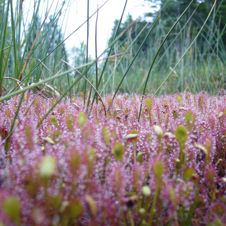
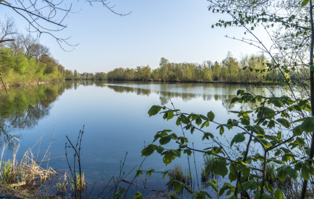
Carnivorous plants, crooked trees and peat mosses that can absorb and store an immense quantity of water – many animal and plant species have specialised in the particular conditions in the moor. The moor complex in Krumbach offers an insight into the fascinating world of moors with a variety of special plants. Thanks to their significant cleansing power, moors are indispensable for preserving our supply of drinking water.
Vorarlberg is home to roughly quarter of all moors in Austria, many of them in the Nagelfluhkette nature park in Lower Bregenzerwald. The moors were formed after the last Ice Age and are many thousands of years old.
There are upland and flat moors. If a moor is still connected to the groundwater, we call it a low moor. However, if the peat soil has already disconnected from the groundwater, and the moor is only fed by rainwater, it is an upland moor.
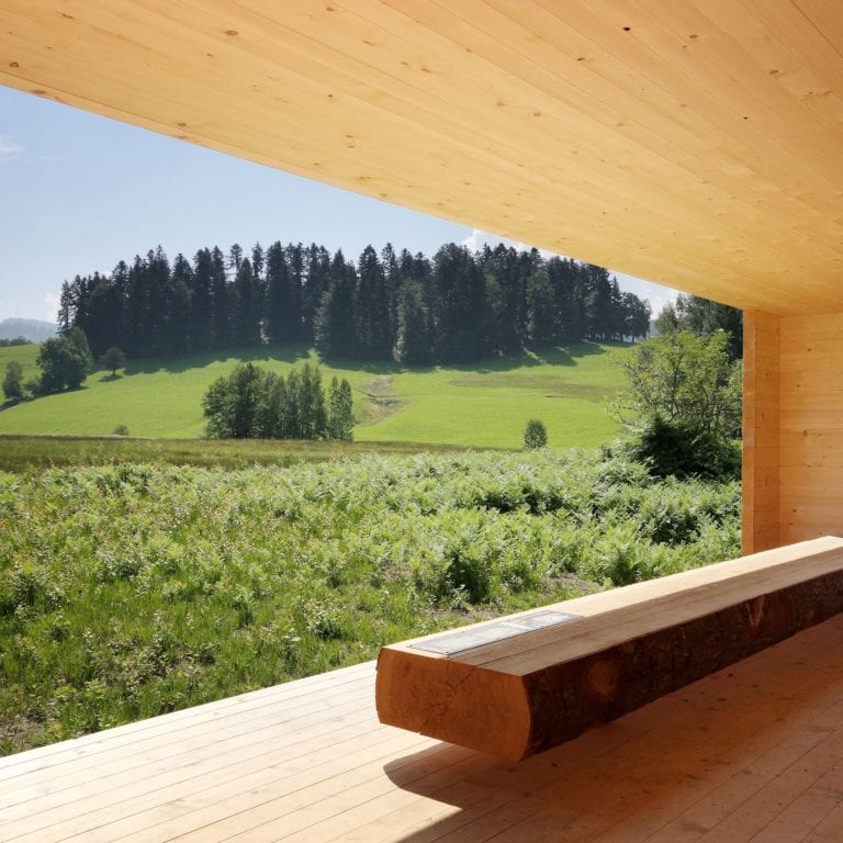
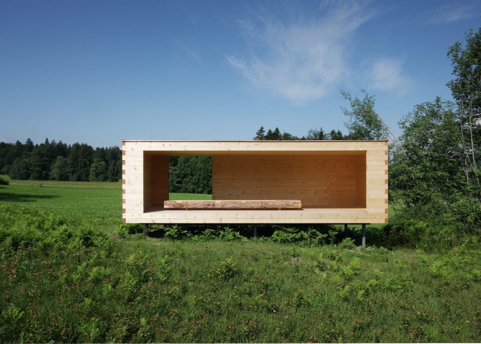
Moors grow roughly 1 mm each year. Soil profiles with depths of three to four metres offer an insight into the botanical history of the last millennia. This and other fascinating information can be read on the circular moor route, with 14 stations and the Moorraum centre, a rest and viewpoint where you can enjoy the moor landscape and immerse yourself in this world of secrets.
The Moorwirte innkeepers offer a ‘moor breakfast’ in the Krumbach moors on certain dates. Every Thursday morning from the beginning of June and the end of September, there is a guided hike.

