Hike to the tufa formations in Lingenau
When water turns to stone
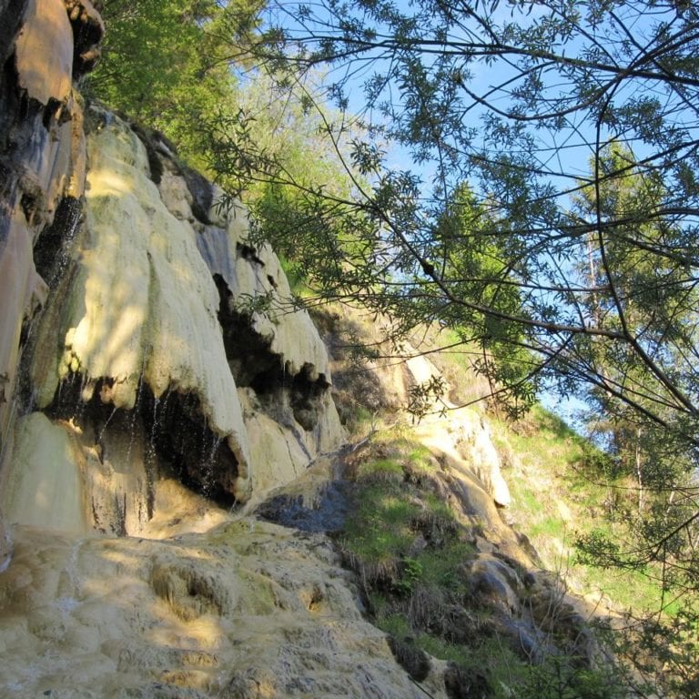
The tufa formations in Lingenau are among the most impressive natural phenomena in Vorarlberg. On this short hike, you can almost see stones being formed in real time.
But what are these tufa formations? Calling it tufa is geologically inaccurate. Usually, stone formed from solidified volcanic ash is known as tufa. When the Romans conquered Vorarlberg in the 15th century, they came to the Bregenzerwald region. The rare stone they found here reminded them of the stones of their homeland in Southern Italy and named it after this tufa stone. But how are these tufa formations really created?
Moss and a growing stone
It takes a few ingredients to make these tufa formations, and they are plentiful in Lingenau. Most of the region stands on a glacier moraine or post-glacial gravel deposits. These substrates are highly permeable to water, and the stone contains high levels of lime. When the calcareous water rises to the surface and flows over carpets of moss, algae or colonies of cyanobacteria, significant quantities of lime are deposited, as these organisms withdraw carbon dioxide from the water for photosynthesis, causing the lime to precipitate. The lime coats the branches, stones, small trees etc., creating formations that grow upwards or steps in stream terraces. In this way, lime sediments of up to 20 mm can grow each year in favourable conditions, creating metre-high structures within a few centuries.
For a long time, the tufa formations were used as a construction material. It was light, stable, provided good insulation and was fire-resistant. An example of this can still be in the foundation walls of Lingenau’s chapel.
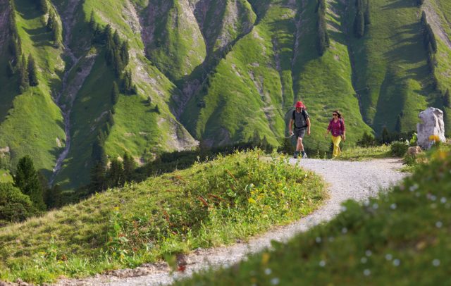
If you have more time, you can hike a longer route from the platform at the hill of tufa formations down to Subersach, across the suspension bridge and back up to Egg-Großdorf. That route features several more beautiful natural areas, and you can discover numerous orchids and other types of flowers along the trail.

