
Mountain Hike |
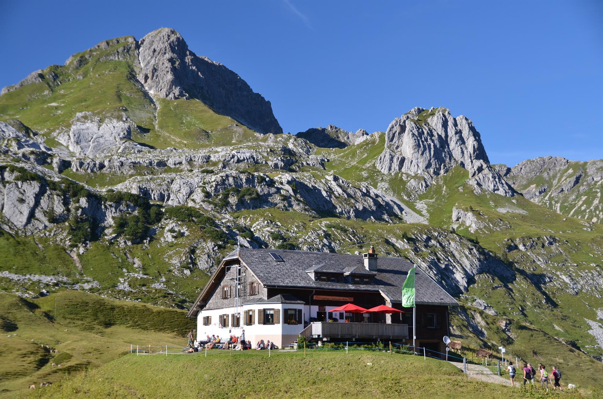
3-day tour Biberacher and Göppinger Hütte (stage 2) | Buchboden

-
Höhenprofil
Stage 2 of the 3-day tour in the Grosses Walsertal biosphere reserve with overnight stays at the Biberacher Hütte and the Göppinger Hütte
On the second day, the trail leads along the foot of the Rothorn to the Lite Hut. The route climbs slightly via the Lägerzun Alpe to the Braunarlfürggele (2,145 m). Partly exposed and secured by ropes, the trail follows the north ridge to the summit of the Braunarlspitze (2,649 m). Often still covered in firn in early summer, often icy in late summer. The descent to the Göppinger Hütte (2nd overnight stay) is steep and unsecured.
Note: The times indicated are approximate. Depending on fitness level, weather conditions, or other factors, the walking time may be shorter or longer.Overnight stay
Göppinger HütteRefreshments
Göppinger HütteWe recommend surefootedness, a head for heights and alpine experience. You can plan the daily stages yourself depending on the weather and your needs.
Presented by: Alpenregion Bludenz Tourismus GmbH
-
Technique: Condition: Experience: Landscape: Altitude: Best season: JAN FEB MAR APR MAY JUN JUL AUG SEP OCT NOV DEC Safety instructions: EMERGENCY CALL
140 Alpine emergencies Austria-wide
144 Alpine emergencies Vorarlberg
112 Euro emergency call (works with any cell phone/network)
www.alpenregion-vorarlberg.com/sicherheitstipps-wandern -
Directions
Buchboden – Obere Ischkarnaialpe – Biberacher Hütte – Braunarlfürggele – Braunarlspitze – Göppinger Hütte – Metzgertobel – Buchboden
Waypoints
-
Approach:
Route PlannerPark:
Hiking parking lots in Buchboden