
Diversity built by water, stone and ice
Date: 02.11.2026
Vorarlberg combines lakes, rolling hills and high mountains within a small area between Lake Constance and the Silvretta.
Key facts at a glance
- With an area of 2,601 square kilometres, Vorarlberg is Austria’s second-smallest federal state and stretches approximately 100 kilometres from north to south.
- The elevation difference between the shores of Lake Constance and Piz Buin, Vorarlberg’s highest mountain, is just under 3,000 metres.
- Vorarlberg’s landscapes range from lakes, river valleys, reeds and moors, through rolling hills, meadows and forests, to gorges, rugged mountains and glaciated peaks.
- Five major geological zones characterise the region: the Silvretta Crystalline, the Northern Limestone Alps, the Penninic, the Helvetic and the Molasse Zone.
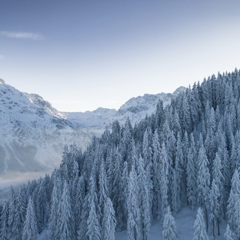
- During the ice ages, glacial ice shaped valleys, basins, lakes, moors and slopes.
- More than 3,900 rivers and streams criss-cross Vorarlberg and define its landscape.
From Lake Constance to Piz Buin
There is a vertical distance of just under 3,000 metres between the shores of Lake Constance and Piz Buin, Vorarlberg’s highest mountain. In between lies a wealth of diverse natural experiences.
Anyone travelling through Vorarlberg will discover, over surprisingly short distances, just how varied a region can be. In the morning, you might be by Lake Constance, where light, water and wide open spaces soothe your wanderlust. A little later, you can stroll through a gentle hilly landscape, amongst meadows, moors and woods; by the afternoon, you’ll find yourself in areas characterised by cliffs, gorges and glaciers.
With an area of 2,601 square kilometres, Vorarlberg is Austria’s second-smallest federal state. The state stretches some 100 kilometres from north to south. And it boasts a rich variety of landscapes. It is precisely this compact size that gives it its charm. Hardly anywhere else can so much be discovered in such a small area: lakes and river landscapes, reed beds and moors, rolling hills, species-rich meadows, alpine pastures and diverse forests, deep gorges, rugged mountains and glaciated peaks.
Five geological zones define this diversity
No fewer than five major geological zones follow one another: the Silvretta Crystalline, the Northern Limestone Alps, the Penninic, the Helvetic and the Molasse Zone. They were formed from sediments that were deposited on the seabed over millions of years, compacted, uplifted and, through the interaction of the continental plates, shaped into mountain ranges.
This scenic diversity shapes both the natural world and the people. It is the breeding ground for culture, cuisine, craftsmanship, architecture and a way of life. This diversity is no coincidence: it is linked to Vorarlberg’s location, its topography, geology and geological history.
It is particularly striking on the western edge of the Rätikon near Feldkirch, where geological worlds converge – such as rocks from near the African coast and deposits from the primordial Mediterranean. Put simply: the Eastern and Western Alps meet here, and this is one of the reasons why the landscapes appear so different.
From the Bregenzerwald to the Silvretta
In the Bregenzerwald, rock strata such as flysch and Nagelfluh form gentle, fertile hilly landscapes which, as they extend southwards – a region characterised by limestone – rise to form striking rock formations such as the Kanisfluh. In the Lechtal Alps, the Northern Limestone Alps form rugged rock formations. In the Verwall and the Silvretta, crystalline rock defines the high-alpine character.
Here, in the Montafon, the connection to the mountains is more immediate than in the gentle Bregenzerwald. The valleys are narrower, the slopes steeper, and the villages are nestled amongst the mountains. Alpine pastures, high alpine meadows and summit areas characterise the typical landscape.
The north of the region is geologically younger: river gravel and sand compacted into molasse in the Rhine Valley.
Ice ages and people shape the landscape
The Vorarlberg landscape was given its final shape by the ice ages: glacial ice formed valleys, basins, lakes, moors and slopes. Since the Late Glacial period, humans have also been helping to shape the landscape.
More than 3,900 rivers and streams criss-cross Vorarlberg
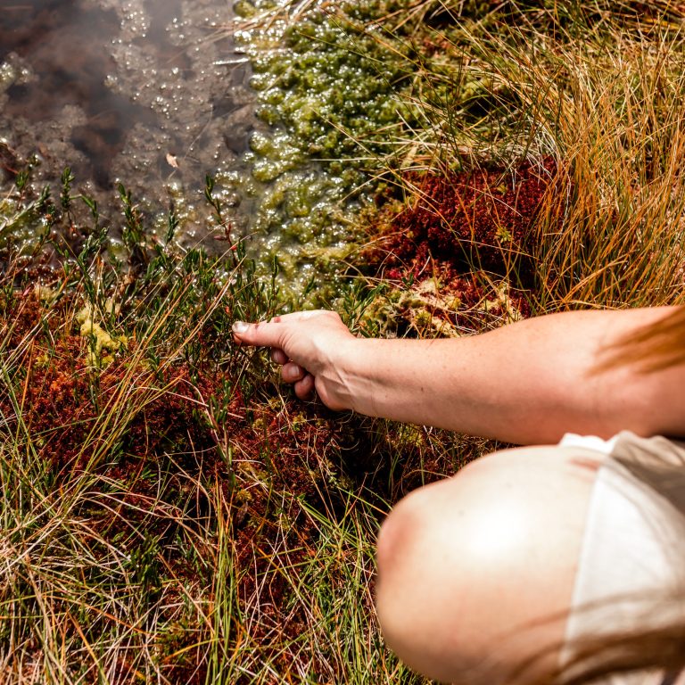
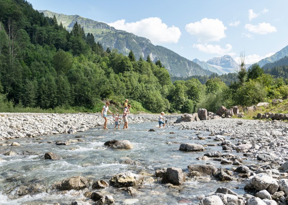
More than 3,900 rivers and streams criss-cross the region, converging in valleys and gorges. Water, too, shapes the landscape. Large and hidden moors, small mountain lakes and Lake Constance provide habitats for a diverse range of flora and fauna.
Nestled along the Alpine Rhine lies Vorarlberg’s largest settlement and economic region, the Rhine Valley. This is where the majority of the population lives. Towns, transport routes, businesses, reed beds and farmland lie in close proximity to one another.
At Lake Constance, the view stretches as far as Germany and into Switzerland. To the south lies the Walgau, a valley framed by mountains yet open and sunny. There, the Ill flows into the Rhine. It rises in the Silvretta, just before the Swiss border. The Ill’s largest tributary, in turn, is the Alfenz, which flows through the steadily ascending Klostertal valley, where the peaks also rise ever higher towards the Arlberg and ultimately mark the border with the federal state of Tyrol.
About Vorarlberg Tourism
Vorarlberg Tourismus GmbH is the regional tourism organisation for the Austrian federal state of Vorarlberg, based in Dornbirn. Its core responsibilities include marketing and communication, strategy and development, as well as digital infrastructure and services. Vorarlberg Tourism manages the ‘Vorarlberg’ holiday brand, coordinates the implementation of the Tourism Strategy 2030, and provides tourism data, market research and digital tools. In doing so, the company collaborates with the six destination organisations and other partners.

